
Description
Specifications
-
Data management
-
Security options for access
Y
Search on file content
Y
Version management
Y
Save standardization for drawings/maps
Settings, Symbols, User-defined objects
Spatial reference system
-
Geometry types
-
Points
Lines
Surfaces
-
Other
-
License or freeware
License
Training
Y
Main users
architect, building surveyor,
Main applications
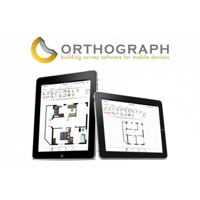
OrthoGraph architect
Distinguishable features
1.)Sketch recognition: Draw like with pen on paper and the software recognizes it and converts the lines into walls. 2.)Measure: Measure anything: Make the measurement process even easier with the Leica and Bosch laser distance meter support. 3.)Intelligently updating measurements: OrthoGraph always reflects the entered distances instantly by moving the secondly chosen point from the first chosen into the direction of measurement.4.)Export the results of your work: When you are ready with your work, export the files in one of the professional output file formats like IFC, DXF, JPG, PDF and use them further in ArchiCAD, AutoCAD or in Solibri Model viewer. 5.)The app handles everything in a complex 3D Model.6.)BIM structure: OrthoGraph handles several BIM properties such as a complex hierarchical location structure, doors and windows with opening directions, 46 intelligent objects with properties; walls have properties like color, attached picture etc.…7.)Cloud Storage
Related products
OrthoGraph ArchiCAD Import Module
-
2D Editing
-
Coordinate transformations
none
Select
Remove
Graphic transformations
-
2D Construction
-
Positioning by coördinates
N
Positioning by snapping
Y
Positioning on virtual raster
N
Positioning by Dimensions
Y
Positioning in relation to other element
-
Storage
-
Type of data storage
File, Private cloud
Native storage format
SRVD
Input formats
Jpg, Others
Export formats
dxf, jpg, others
GML version
not supported
Compression
N
-
Visualisation
-
Types
Change view
-
Data analysis
-
Clip
N
Tools to detect errors
The surveyors have graphical feedback which wall sections are measured and which not, so it cannot happen anymore that some measurements are missing.
Merge
Measurement
Topology
-
Interoperability
-
Web standards
Spatial database management systems
Messaging protocols
XML
Publish standards
None
Extensions
none
Available API’s
None
-
General
-
Year of introduction
2011
Year of last update
2015
Supported hardware
Leica D110, D510, D810Bosch GLM 100 C
Supported operation system
Other
