
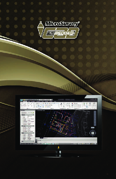
embeddedCAD
MicroSurvey embeddedCAD is a Desktop Survey and Design Program Created for Surveyors, Contractors and Engineers that is Powered by Autodesk Technology™
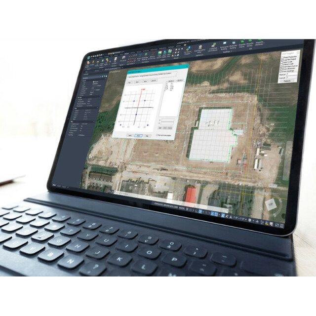
MicroSurvey embeddedCAD provides users with unencumbered survey drafting and calculation workflows in a familiar AutoCAD working environment, including COGO, point tools for gridline-based projects, traverse input and adjustment, misclosure reporting, common data collector support, 3D surface representation and computation, corridor design, and more.

MicroSurvey Software Inc.
West Kelowna, CA
Description
MicroSurvey embeddedCAD provides users with unencumbered survey drafting and calculation workflows in a familiar AutoCAD® working environment, including COGO, point tools for gridline-based projects, traverse input and adjustment, misclosure reporting, common data collector support, 3D surface representation and computation, corridor design, and more.
These utilities and the integrated AutoCAD® drafting tools are perpetually licensed and are designed to complement the professional land surveyor and their desire for maximum efficiency. With two product tiers, embeddedCAD allows the avid professional to choose precisely the features and price point they need to produce the quality deliverables they want. MicroSurvey embeddedCAD opens and saves the latest AutoCAD® drawing files, facilitating collaboration with existing AutoCAD® environments.
MicroSurvey offers free trial versions for all of its major software – download MicroSurvey embeddedCAD today.
Do you have questions about this product?
- Questions about price, availability, and/or retailers
- Questions about technical specifications and usage
- Questions about suitability for your project or application
Specifications
-
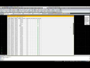
Data management
-
Save standardization for drawings/maps
Spatial reference system
Selectable
-
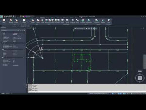
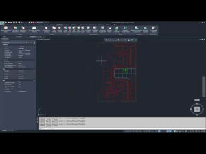
Geometry types
-
Points
Point, Symbol, Text, Others
Lines
Line segment, Polyline, Multiline, Arc, B-spline, Others
Surfaces
Polygon, Others
-
Other
-
License or freeware
License
Training
Y
Main users
Land Surveyors, Geomatics Technicians, Mapping Professionals
Main applications
Drafting, Plan Checking, Plan Calculation, Data Adjustment
Distinguishable features
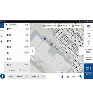
Ease of Use, COGO, Lot Closures, Top-Notch Helpdesk, AutoCAD OEM Engine, Legal Description Writer, Database-linked Linework, Automatic Labeling, Direct support for most common Data Collector export formats, Traverse adjustments, Point Cloud support, and many more.
Related products
MicroSurvey CAD, MicroSurvey inCAD, MicroSurvey STAR*NET, MicroSurvey FieldGenius, MicroSurvey FieldGenius for Android
-
2D Editing
-
Select
By drawing attributes, Select by administrative attributes, Within buffer, Spatial selection, Multiple select, Others
Remove
By select, By attributes, By layer, Others
Graphic transformations
Scale, Copy, Move, Rotate, Mirror, Align, Stretch, Others
Coordinate transformations
Points and associated lines are easily transformed between hundreds of coordinate systems, and can be adjusted using helmert's transformations, least squares adjustments, and several others.
-
2D Construction
-
Positioning in relation to other element
Extend, Perpendicular, Particular angle, Tangent, Others
Positioning by coördinates
Y
Positioning by snapping
Y
Positioning by Dimensions
Y
-
Storage
-
Type of data storage
Database
Input formats
Dwg, Dxf, Shape, KML, GeoTiff, Jpg, Others
Export formats
Dwg, Dxf, KML, Jpg, Others
Compression
Y
-
Visualisation
-
Types
Color, Pattern, Hatch, Gradient color
Change view
Zoomfactor, Target point, Twist angle
-
Data analysis
-
Merge
Attribute table to geometry
Measurement
Area, Length, Others
Topology
Build, Check, Others
Clip
Y
Tools to detect errors
CAD Audit, Database Audit, Crash Recovery Wizard
-
Interoperability
-
Web standards
Spatial database management systems
Messaging protocols
Extensions
-
General
-
Supported operation system
Windows
Year of introduction
2012
Year of last update
2022
Supported hardware
PC, Laptop
Documents
Brochure
microsurvey-embeddedcad-3.pdf
1.67 MB


