
Description
Specifications
-
Other
-
Training provided
Y
Main users
aerial companies, national mapping agencies, city planning,etc
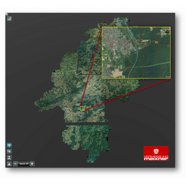
Main applications
visuization, editing and handling, quality controls, mapping, digitization
-
General
-
Year of introduction
2014
Year of last update
2015
Open source
N
License configuration
demo license, floating license
-
Required Computer System
-
Min. CPU
1,5 Ghz
Min. RAM memory [Gb]
2
64-bit version available
Y
Distributed processing capacity
Y
GPU based calculations
N
Data storage capacity [Terabyte]
128
-
Geo-data Types and Formats
-
2D vector data
Y
3D vector data
Y
Pixels
Y
Raster
Y
Voxels
Y
Point clouds
Y
Input formats
tiff, geotiff, jpeg, dxf, obj
Output formats
uds, udp, las
-
Distribution
-
Horizontal Scalability
Y
Replication
Y
Sharding
Y
-
Database
-
SQL
Y
NoSQL
Y
Spatial Database
Y
Column-family database
Y
Graph database
Y
XML document database
Y
-
Retrieval of Geo-resources over the Web
-
OGC Compliant
Y
WMS
Y
WFS
Y
-
Data Handling
-
Support of Topographical Relationships
Y
Support of Attribute Relationships
Y
Support of Metadata
Y
XML
Y
