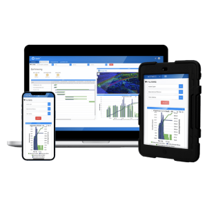
Description
Specifications
-
Other
-
Training provided
Y
Main users
Geospatial companies, construction companies, architects, planning companies, manufacturers, real estate, marketing, tourism, cultural heritage, forensics, military, national mapping agencies, etc.
Main applications
data visualizations and handling and editing
Distinguishable features
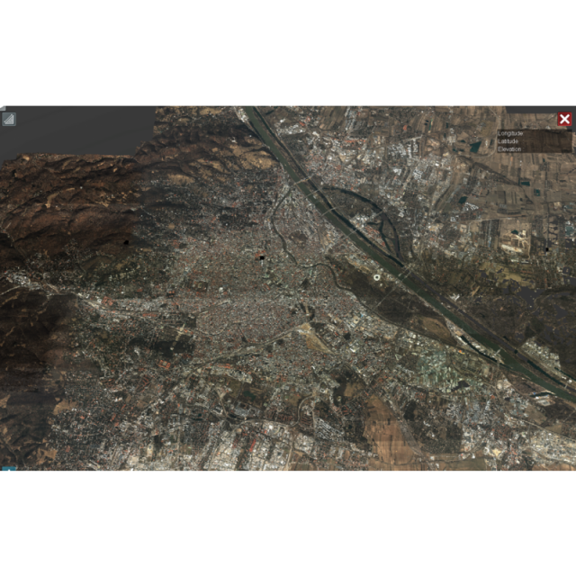
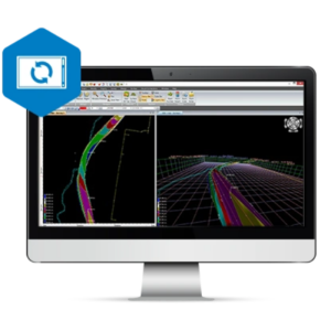
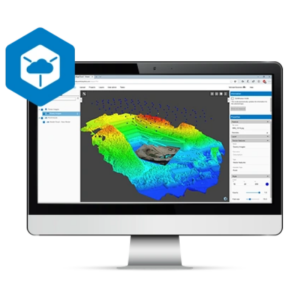
Visualization of unlimited datasets within one second (INTERNET ACCESS) Share data with customers over the web COMBINE DATASETS CONNECT TO AUTOCAD® LOAD DXF FILES ACCURATE MEASUREMENTS CREATE ANNOTATIONS CENTRAL STORAGE SUPPORT FOR INTENSITY & CLASSIFICATION OVERLAY DIFFERENT DATASETS DIGITIZATIONS
-
General
-
Year of introduction
2012
Year of last update
2015
Open source
N
License configuration
floating license
-
Required Computer System
-
Operating system(s)
Windows 7, Windows 8
Min. CPU
1.5 GHz
Preferred CPU
3.0 GHz Quad Core
Min. RAM memory [Gb]
2
64-bit version available
Y
Distributed processing capacity
N
GPU based calculations
N
Data storage capacity [Terabyte]
128
-
Geo-data Types and Formats
-
2D vector data
Y
3D vector data
Y
Pixels
Y
Raster
Y
Voxels
Y
Point clouds
Y
Input formats
OBJ, BIN, e57, LAS, LAS, PLY, PTX, XYB, XYZ/TXT
Output formats
UDS, UDP, LAS
-
Distribution
-
Vertical Scalability
N
Horizontal Scalability
Y
Replication
Y
Sharding
Y
-
Database
-
SQL
Y
NoSQL
Y
Spatial Database
Y
Column-family database
Y
Graph database
Y
XML document database
Y
-
Retrieval of Geo-resources over the Web
-
WMS
Y
-
Data Handling
-
Support of Topographical Relationships
Y
Support of Attribute Relationships
Y
Support of Metadata
Y
XML
Y
GML
Y
