Big Data Management Systems
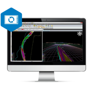
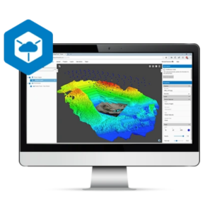
Big Data Management Systems provide solutions for receiving, storing, analyzing, presenting, visualizing and publish of spatial data. Most typical types of spatial data (LiDAR, Raster, vector, files) are supported by one of the systems. The systems provide solutions for easy storage and publishing of environmental data acquired by different monitoring techniques and sensors. Some examples include: point cloud, tide and wave data, wind and other meteorological and oceanographic data types, vessel location (AIS), dynamic positioning and motion data, aerial imagery and ortho fotos.
Filters
Manufacturer type
Manufacturers
Other
Training provided
General
Year of introduction
Year of last update
Open source
Required Computer System
Min. RAM memory [Gb]
64-bit version available
Distributed processing capacity
GPU based calculations
Data storage capacity [Terabyte]
Geo-data Types and Formats
2D vector data
3D vector data
Pixels
Raster
Voxels
Point clouds
Distribution
Vertical Scalability
Horizontal Scalability
Replication
Sharding
Database
SQL
NoSQL
Spatial Database
Column-family database
Graph database
XML document database
Retrieval of Geo-resources over the Web
WMS
OGC Compliant
WFS
Proprietary solutions
Platform-dependent solutions
Data Handling
Support of Topographical Relationships
Support of Attribute Relationships
Support of Metadata
XML
GML
Showing 1-5 of 5 results

Need some help? Ask a Geo-matching expert!
Our team and network of 1000+ manufacturers and developers is here to assist you.