Oil & Gas
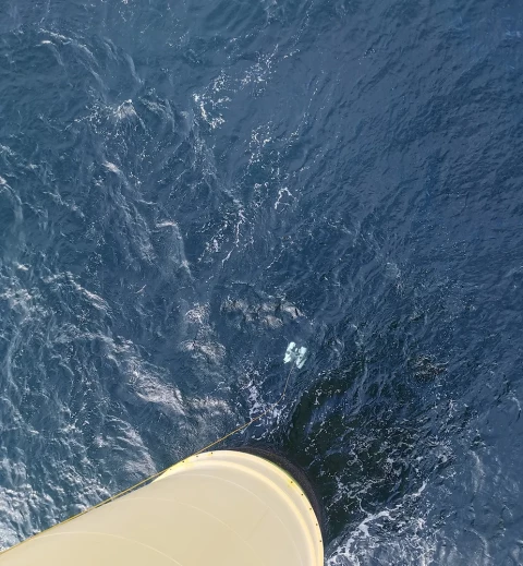
Oil & Gas are two resources which are plentiful but require extensive site exploration and preparation before extraction is possible. For land exploration, this application area offers a wide range of products. For the more difficult task of underwater exploration and site preparation more specialized equipment such as [AUVs - Autonomous Underwater Vehicles] and [Subsea Lights and Lasers] are available.
Product themes
Recently added products
Featured manufacturers


![2f781d80380a31fcbeca84ba9c7a8108774a05ac[1].jpeg](https://cdn.geo-matching.com/9p60977R.jpeg?w=480&s=0fe12b4b9113cf2a710bca65ea76ffb6)
Browse by category
Aerial and Satellite Imagery
GNSS and Mobile GIS Systems
Offshore Platforms
Positioning and Navigation
- AHRS - Attitude Heading and Reference Systems
- Accelerometers
- Altimeters
- DVLs - Doppler Velocity Logs
- GNSS Antennas
- GNSS Receivers
- GNSS Repeaters
- GPS and Heading
- Gyroscopes
- IMUs - Inertial Measurement Units
- INS - Inertial Navigation Systems
- MRUs - Motion Reference Units
- Marine Navigation Systems
- Portable Marine Survey Systems
- Radios and Modems
- Subsea Cables
- Subsea Connectors
- Transponders (Acoustic Release and Positioning)
- USBLs and SSBLs
- Underwater Acoustic Modems
Software and Data Management
- Automatic Blurring Software
- BIM Software
- Big Data Management Systems
- CAD Software
- Flight Planning and Management Software for Manned Aviation
- GIS Software
- GNSS Processing Software and Correction Services
- Ground Station Software
- Hydrographic Acquisition Software
- Hydrographic Processing Software
- Photogrammetric Imagery Processing Software
- Point Cloud Processing Software
- Remote Sensing Image Processing Software
- Sediment Classification Software
- Survey Software
- UXO Detection and Analysis Software
- Verification and Validation
Subsea Sensors
- ADCPs - Acoustic Doppler Current Profilers
- Altimeters
- Bottom Pressure Gauges
- CTD Systems
- Current Meters
- Data Buoys
- Density Probes
- Magnetometers
- Ocean Sensors
- Sound Velocity Sensors and Profilers
- Subsea Data Loggers
- Subsea Landers and Observatories
- Subsea Lights and Lasers
- Tide Gauges: Radar, Pressure and Acoustic
- Transducers (Acoustic)
- Transponders (Acoustic Release and Positioning)
- Underwater Cameras
- Wave Radars
- Weather Stations


