

About APLITOP
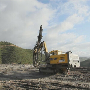
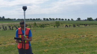
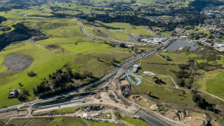
APLITOP is a company specializing in the design and programming of technical applications for Surveying and Civil Engineering. We have developed a broad variety of solutions for field survey and setting out, CAD-based software for civil projects, and special applications for point-clouds, tunnels and photogrammetry.
We have more than 18,000 active users all over the world, including public administration, universities and training centers, construction companies, engineering and town planning studios, quarries, mines, environmental services, as well as independent professionals.
Aplitop products and services are designed to obtain full customer satisfaction. Our experience in a wide range of surveying projects provides us with firsthand knowledge of our user´s needs, both in the field and in the office, they are constantly updated with their suggestions. This is a fundamental aspect of our program design process, ensuring that they are practical and easy to use.
We are leaders in the application of the last technologies and have worldwide collaboration agreements with leading surveying equipment manufactures and CAD systems. The Research and Development projects with several universities and major construction firms guarantee our technical know-how and innovation capacity.
Our distribution network, comprising suppliers of surveying instruments and CAD solutions, is an essential part of our marketing policy and we guarantee full technical support and respect for their customers. Our staff is a multi disciplinary team, which is composed among others by Information Technology and Telecommunications Engineers, Surveying professionals and administration and support employees.
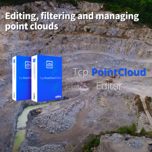
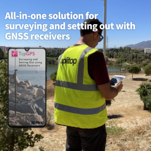
Featured products

Recent articles


“Surveying and Civil Engineering Solutions”
APLITOP

Main office
-
Calle Sumatra, 9, / Urb. El Atabal
29190 Málaga
Spain -
+34 952 43 97 71
- http://www.aplitop.com/


