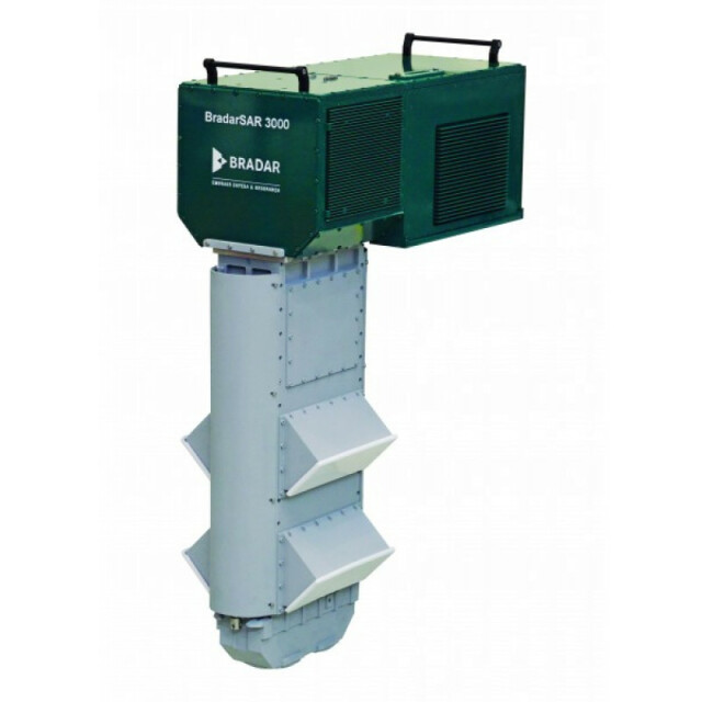
Description
Specifications
-
Data storage
-
Disc capacity [GB]
1024
Number of discs
2
Exported file formats
Raw Data
-
Operation Characteristics
-
Platforms (e.g. Helicopter, fixed wing)
Fixed wings
Min. flying height [m]
500
Max. flying height [m]
1000
Min. stroke width [km x km]
Swath 3 km x track length 100 km
Max. stroke width [km x km]
Swath 1 km x track length 5 km
-
Software
-
Type of mission planning software
Bradar
Type of postprocessing software
Bradar
-
Application and Use
-
Main applications
X- and P-band surveys for mapping (ORI-X, ORI-P, DTM and DSM), imaging, and monitoring (change detection). Examples: - Cartographic mapping up to scale 1:5000 - Deforestation monitoring - Water reservoir monitoring - Detection and monitoring of flooded areas. - Forest biomass/carbon stock/volume estimation - Oil/gas pipeline monitoring - Differential interferometry for detecting and quantifying slow ground movements and geo-hazards such as erosion.
Training facilities
Yes
Distinguishable features:
Radars survey the landscape even at night and with cloud cover. P-band penetrates foliage and can survey the terrain below forest canopies, while X-band surveys the landscape surface. First compact radar remote sensing system suitable to be installed in aircrafts with hatches already certified for aerophotogrammetry and/or Lidar. Capable of acquiring bilateral data, which makes data acquisition more efficient. Radar power can be amplified to allow higher flight acquisition altitudes and larger swaths
-
Recording
-
Time of flight
Y
Signal strength
Y
Frequency
Y
Phase
Y
-
Onboard Unit Features
-
Unit Width (cm)
42
Unit Height [cm]
90
Unit Depth [cm]
100
Weight [kg]
96
Power requirements
28 VDC / 400 Watts
-
Sensor Characteristics
-
Sensor arrangement/method
bilateral - X/P interferometric
Number of bands
2
Frequency in P band (> 300 MHz)
400
Frequency in X band (8-12ghz)
9.55
Azimuth resolution
X-Band: 0.11 m |P- Band: 0.5 m
Range resolution
X-Band: 0.5 m |P- Band: 2 m
SAR or SLAR
SAR
-
Positioning System
-
Inbuild positioning system
Y
Brand of positioning system
Bradar
-
General
-
Year of introduction
2015
Year of last update
2015