
VUX-1UAV²²
The RIEGL VUX-1UAV²² is a Very Lightweight and Compact Laser Scanner

RIEGL | Innovation in 3D
Horn, AT
Description
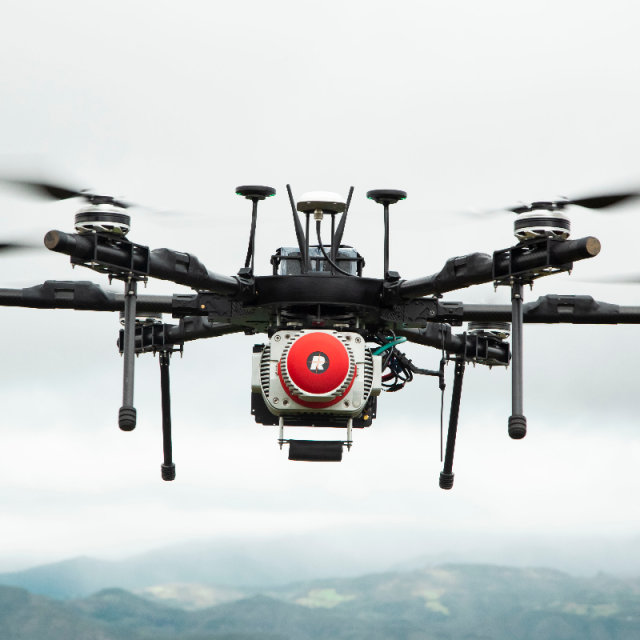
The RIEGL VUX-1UAV²² is a very lightweight and compact laser scanner, meeting the challenges of emerging survey solutions by UAS/UAV/RPAS, both in measurement performance as in system integration. With regard to the specific restrictions and flight characteristics of UAS, the RIEGL VUX-1UAV is designed to be mounted in any orientation and even under limited weight and space conditions. Modest in power consumption, the instrument requires only a single power supply. The entire data set of an acquisition campaign is stored onto an internal 1 TByte SSD and/or provided as real-time line scan data via the integrated LAN-TCP/IP interface.
Do you have questions about this product?
- Questions about price, availability, and/or retailers
- Questions about technical specifications and usage
- Questions about suitability for your project or application
Specifications
-
General
-
Year of introduction
2021
Year of last update
2021
Total Weight [kg]
3.5
Power requirements
11 - 32 V DC
Type of GNSS/INS positioning system
optional
Data storage facilities
int.1 TByte SSD Memory, ext. USB devices
Postprocessing software
RiACQUIRE, RiMTA, RiWORLD, RiPROCESS
-
Application
-
Main applications
- Agriculture and Forestry - Archaeology and Cultural Heritage Documentation - Corridor Mapping:Power Line, Railway Track, and Pipeline Inspection - Topography in Open-Cast Mining -Construction-Site Monitoring - Surveying of Urban Environments- Resources Management - Construction-Site Monitoring
-
Measurement Characteristics
-
Scanning method
time of flight measurement
Min. pulse frequency [Hz]
50000
Max. pulse frequency [Hz]
1200000
Max. field of view [deg]
360
Max. number of recorded echoes per pulse
up to 15 target echoes
Full-wave form digitization
Y
Recording of intensity of return signal [bits]
16
multiple pulses in air
Y
-
Operation Characteristics
-
Platform
Helicopter, Fixed-wing, RPAS (UAV/UAS)
Max. flying height [m]
350
-
Laser Pulse Characteristics
-
Beam divergence [mrad]
0.5
Type/class laser
1
-
More information
-
Distinguishable features
10 mm survey-grade accuracy scan speed up to 200 scans / second PRR freely selectable measurement rate up to 1,200,000 meas./sec (@ 1200 kHz PRR & 360° FOV) operating flight altitude more than 2,640 ft field of view up to 360° for practically unrestricted data acquisition regular point pattern, perfectly parallel scan lines cutting edge RIEGL technology providing - echo signal digitization - online waveform processing - multiple-time-around processing multiple target capability - up to 15 targets echoes compact (227x180x125 mm), lightweight (3.5 kg), and rugged easily mountable to professional UAS / UAV / RPAS mechanical and electrical interface for IMU mounting electrical interfaces for GPS data string and Sync Pulse (1PPS) LAN-TCP/IP interface scan data storage on internal 1TByte SSD Memory
-
Application areas
-
Select an application area:
Construction and Infrastructure, Cultural Heritage, Land Surveying and Cadastre


