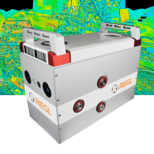
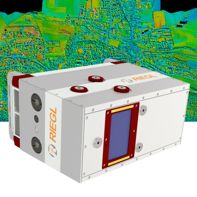
VQ-780II
Waveform Processing Airborne Laser Scanner for Wide Area Mapping and High Productivity
The Waveform Processing Airborne Laser Scanner RIEGL VQ-780 II provides further increased performance and highest productivity based on a laser pulse repetition rate of up to 2 MHz, resulting in more than 1.33 million measurements/sec on the ground.

RIEGL | Innovation in 3D
Horn, AT
Description
The versatile scanner is designed for high efficient data acquisition at low, mid, and high altitudes, covering a variety of different airborne laser scanning applications from high density to wide-area mapping.
Its high speed rotating mirror design ensures reliability, and uniform point distribution across its entire wide field of view and at all flying altitudes. Based on RIEGL’s proven Waveform-LiDAR technology, the system provides point clouds with the highest accuracy, excellent vertical target resolution, calibrated reflectance readings, and pulse shape deviation for unsurpassed information content on every single measurement.
Excellent atmospheric clutter suppression yields clean point clouds with minimum efforts in filtering isolated noise points. The RIEGL VQ-780 II is designed to work with the latest Inertial Navigation (IMU) systems, flight management systems, and camera options. The system is complemented with RIEGL‘s advanced acquisition and data processing software suite that utilizes parallel computing (GPU) for fast data processing.
Do you have questions about this product?
- Questions about price, availability, and/or retailers
- Questions about technical specifications and usage
- Questions about suitability for your project or application
Specifications
-
General
-
Year of introduction
2019
Total Weight [kg]
20
Power requirements
18-32V DC, 150W
Type of GNSS/INS positioning system
optional
Camera
optional
Data storage facilities
DR1560I
Mission planning software
RiPARAMETER,IGI Plan; TrackAir; or similar
Postprocessing software
RiMTA ALS, RiACQUIRE, RiPROCESS, RiWORLD
-
Application
-
Main applications
• Wide Area / High Altitude Mapping • High Point Density Mapping • Mapping of Complex Urban Environments • Glacier & Snowfield Mapping • City Modeling • Mapping of Lakesides & River Banks • Agriculture & Forestry • Corridor Mapping
-
Measurement Characteristics
-
Scanning method
rotating polygon mirror
Scan frequency [Hz]
300
Min. pulse frequency [Hz]
150000
Max. pulse frequency [Hz]
2000000
Max. field of view [deg]
60
Full-wave form digitization
Y
multiple pulses in air
Y
-
Operation Characteristics
-
Platform
Max. flying height [m]
5600
-
Laser Pulse Characteristics
-
Wavelength [nm]
1064
Beam divergence [mrad]
0.18
Type/class laser
3B
-
More information
-
Distinguishable features
high laser pulse repetition rate up to 2 MHz • up to 1.33 million measurements/sec on the ground • excellent multiple target detection capability • excellent suppression of atmospheric clutter • Multiple-Time-Around (MTA) processing of up to 35 pulses simultaneously in the air • online waveform processing as well as smart and full waveform recording • parallel scan lines and uniform point distribution • interface for GNSS time synchronization • seamless integration and compatibility with other RIEGL ALS systems and software packages
-
Application areas
-
Select an application area:
Documents
Brochure
datasheet_vq-780ii
Other documents
-
RiACQUIRE Datasheet.pdf4.34 MB
-
RiPROCESS Datasheet.pdf3.99 MB


