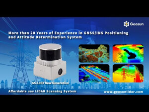


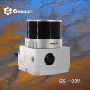

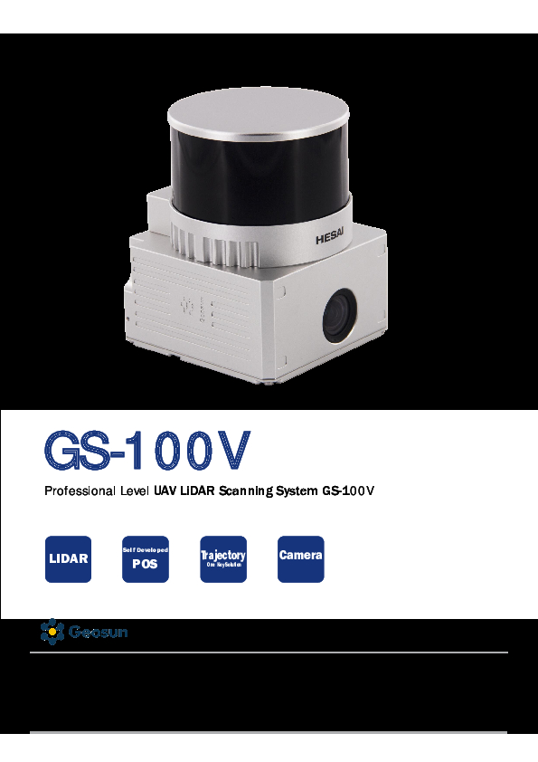
Geosun LiDAR GS-100V
High Accuracy POS Colored Point Cloud Hesai XT16 Laser senor
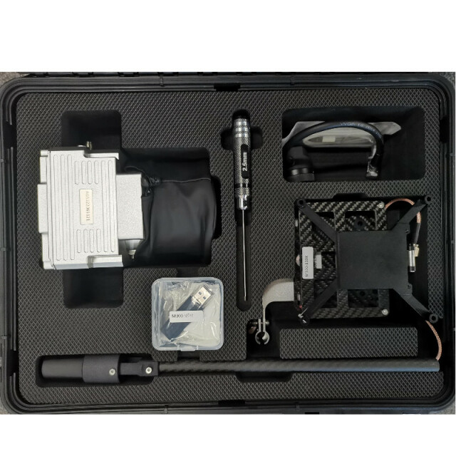
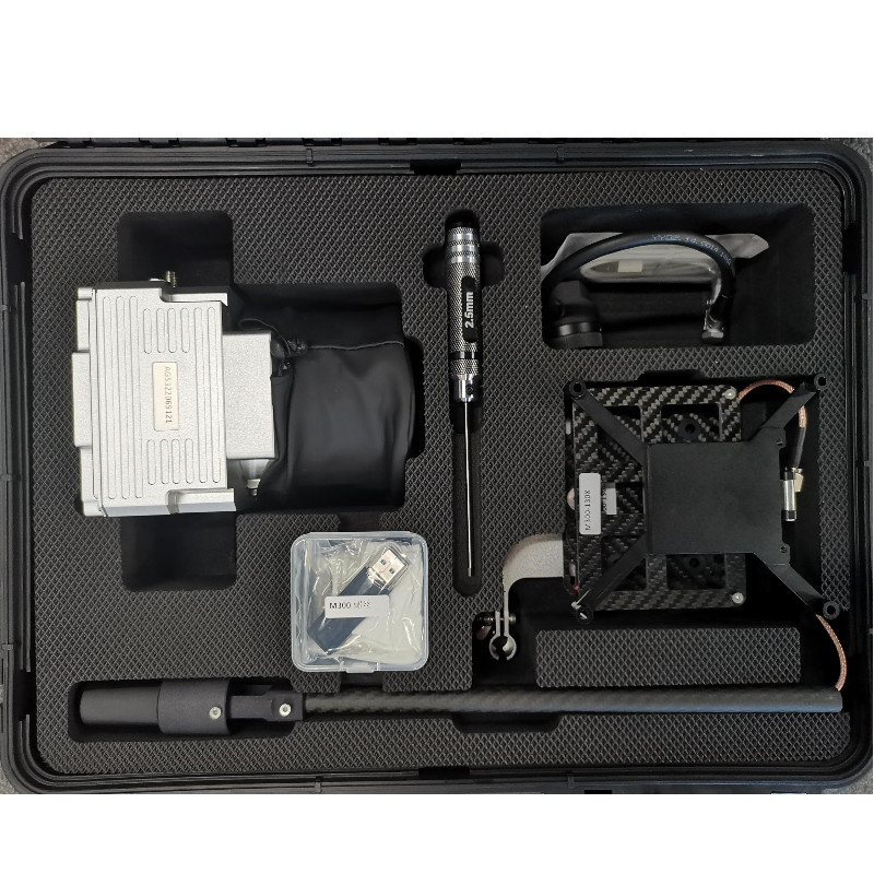
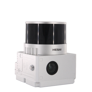
The GS-100V is a compact Lidar point cloud data acquisition system designed for short-range applications. It incorporates the HESAI XT16 laser scanner, GNSS, IMU positioning and attitude determination system, and a storage control unit. This system is capable of collecting high-precision point cloud data and capturing abundant real-time imagery on a large scale.

Geosun Navigation
Wuhan, CN
Description
The GS-100V is a compact Lidar point cloud data acquisition system designed for short-range applications. It incorporates the HESAI XT16 laser scanner, GNSS, IMU positioning and attitude determination system, and a storage control unit. This system is capable of collecting high-precision point cloud data and capturing abundant real-time imagery on a large scale. It finds extensive usage in acquiring 3D spatial information for various industries such as surveying, electricity, forestry, agriculture, and land planning.
|
LiDAR Scanning System gAirHawk GS-100V |
||
|
Item Name |
System Parameters |
|
|
GS-100V Parameters |
Weight |
1.4kg |
|
Measuring accuracy |
Less than 0.1m @100m |
|
|
Working temperature |
-20℃~55℃ |
|
|
Power range |
12V- 24V |
|
|
Consumption |
20W |
|
|
Carrying Platform |
Drone and Vehicle |
|
|
Storage |
64GB storage, maximum support 128GB TF card |
|
|
Lidar Unit |
Measuring Range |
80m@10% Reflectivity, max range 120m |
|
Laser class |
905nm Class1 (IEC 60825-1:2014) |
|
|
Channel |
16-channel |
|
|
Range accuracy |
±1cm (typical Value) |
|
|
Scanning frequency |
10HZ, 20HZ |
|
|
data |
Double echo 640,000 Points/Sec |
|
|
FOV |
360°, adjustable |
|
|
Laser sensor |
HESAI XT16 |
|
|
POS Unit |
Update frequency |
200HZ |
|
Heading accuracy |
0.040° |
|
|
Pitch accuracy |
0.015° |
|
|
Rolling accuracy |
0.015° |
|
|
Position accuracy |
≤0.05m |
|
|
GNSS signal type |
GPSL1/L2/L5 GLONASSL1/L2 BDS B1/B2/B3 GAL E1/E5a/5b |
|
|
Pre-processing software |
POS software |
Output information: position, speed, attitude |
|
Point cloud software |
Output point cloud data format: LAS format, custom TXT format |
|
|
Camera (built-in) |
Trigger Event |
Distance or Time trigger |
|
Effective Pixel |
26 Mega Pixel & 83 Degree FOV |
|
Do you have questions about this product?
- Questions about price, availability, and/or retailers
- Questions about technical specifications and usage
- Questions about suitability for your project or application
Specifications
-
General
-
Year of introduction
2022
Year of last update
2022
Total Weight [kg]
1.26
Type of GNSS/INS positioning system
GPS L1/L2/L5,GLONASS L1/L2 BDS B1/B2/B3,GAL E1/E5a/E5b
Camera
Yes
Data storage facilities
64 GB storage, maximum support 128GB TF card
Power requirements
12-24v
Mission planning software
Customized Route Planning Software-WayPoint Master
Postprocessing software
CloudMapper
-
Application
-
Main applications
Digital city construction, Industry, Land survey, Forestry and Agriculture
-
Measurement Characteristics
-
Scanning method
16-Channel
Max. field of view [deg]
360
Max. number of recorded echoes per pulse
Double Echoes
Recording of intensity of return signal [bits]
640000
-
Operation Characteristics
-
Platform
RPAS (UAV/UAS)
Max. flying height [m]
110
-
Laser Pulse Characteristics
-
Type/class laser
905nm Class1 (IEC 60825-1:2014)
-
More information
-
Distinguishable features
16-channel
-
Uncertainty and resolution
-
Pitch and roll pointing precision [deg]
0.015
Heading pointing precision [deg]
0.04
-
Application areas
-
Select an application area:
Land Surveying and Cadastre
Documents
Brochure
gairhawk-gs-100v-new-type.pdf
1.21 MB
Videos

