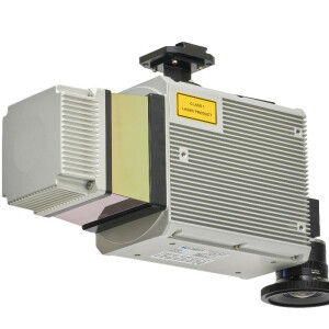
Description
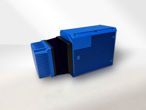
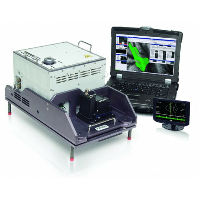
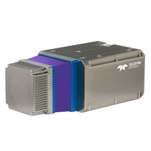
The Optech Orion Airborne Laser Terrain Mapper is an ultra-compact total mapping solution with industry-leading data precision and accuracy. Modular components, direct upgrade options and plug-and-fly passive imaging sensors deliver scalable and highly flexible configurations for maximum flexibility in all application spaces.
Do you have questions about this product?
- Questions about price, availability, and/or retailers
- Questions about technical specifications and usage
- Questions about suitability for your project or application
Specifications
-
General
-
Year of introduction
2012
Year of last update
2016
Total Weight [kg]
27
Power requirements
28 V, 20 A, 500 W
Type of GNSS/INS positioning system
POSAV AP50 OEM
Camera
Supports up to 6 digital cameras
Data storage facilities
Internal SSD 256 GB; removable 600 GB
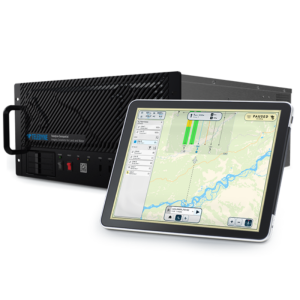
Mission planning software
Optech FMS Flight Management System
Postprocessing software
Optech LMS Lidar Mapping Suite
-
Application
-
Main applications
Corridor mapping; wide area mapping; engineering; universal sensor design
-
Measurement Characteristics
-
Scanning method
Oscillating mirror
Scan frequency [Hz]
90
Min. pulse frequency [Hz]
50000
Max. pulse frequency [Hz]
300000
Max. field of view [deg]
50
Max. number of recorded echoes per pulse
4
Full-wave form digitization
Y
Pulse sampling frequency [GHz]
1
Recording of intensity of return signal [bits]
12
multiple pulses in air
Y
-
Operation Characteristics
-
Platform
Helicopter, Fixed-wing, Gyroplane
Min. flying height [m]
150
Max. flying height [m]
4000
Max. acquisition time [hr]
30
-
Laser Pulse Characteristics
-
Wavelength [nm]
1064
Standard pulse length [ns]
3
Beam divergence [mrad]
0.25
Type/class laser
Class IV
Eyesafe range [m]
150
-
More information
-
Distinguishable features
Compact, full-system lidar sensor (1.0 cu ft, 0.03 m3): - High density and accuracy independent of pulse rate - Real-time XYZ point display - Fully programmable scanner (0-90 Hz, 0-50 degrees) - Highest data precision - Real-time differential GPS correction (OmniSTAR and RTX) - Scalable off-the-shelf mounting systems supporting multiple peripheral cameras with or without gyro-stabilization - Global 24/7 technical support
-
Uncertainty and resolution
-
Pitch and roll pointing precision [deg]
0.005
Heading pointing precision [deg]
0.008
Elevation precision at 1 km [m]
0.02
Planimetric precision at 1km [cm]
18
Across-track point spacing at 1km [m]
0.1
-
Application areas
-
Select an application area:
Documents
Brochure
orionh300.pdf
1.95 MB


