Description
Specifications
-
General
-
Deliverable raster products
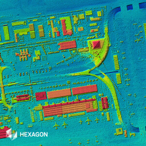
Raw Imagery, Stereo Imagery, Orthorectified imagery, DEM
Options for delivery
Individual Files
Satellites or constellations of delivered products
KOMPSAT Series (2, 3 & 5), DUBUISAT Series, DEIMOS Series.
Deliverable vector products [2D and 3D]
aircraft or satellite
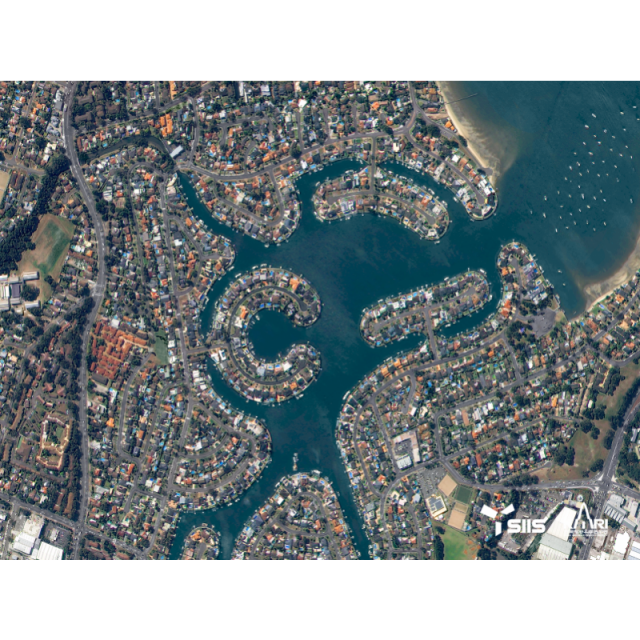
Continents
-
Image corrections
-
Image sharpening methods
PAN-sharpening
Sensor corrected
Y
Proces of sensor correction
The difference of relative radiometric response between detectors is corrected and internal detector geometryand mis-registrations between detectors are corrected when applicable.
Radiometrically corrected
Y
Process of radiometric and/or atmospheric correction
The difference of relative radiometric response between detectors is corrected and internal detector geometryand mis-registrations between detectors are corrected when applicable.
-
Imagery Specifications
-
Spectral band types
Red, Green, Blue, Near-infrared
Spectral bands [specify wavelengths]
PAN : 450 ~ 900 nm. MS1 (Blue) : 450 ~ 520 nm. MS2 (Green) : 520 ~ 600 nm. MS3 (Red) : 630 ~ 690 nm. MS4 (NIR) : 760 ~ 900 nm.
Dynamic range of RGB image [bit depth]
14
Dynamic range of other products [specify bit depth and spectral band]
14
Data formats of imagery
-
Revisit time and delivery
-
Revisit time for defined data products
3 days
-
Custom inquiries and license
-
Possibilities for custom inquiries
New tasking priority provides three options designed to meet a variety of customer needs. These options consider that balances the cost against the need for timeliness, level of risk, and control over the collection window. Very high priority requests can be delivered within 4 days.
More information and distinguishable features
Integrated solution for optical and radar satellite products.
-
Resolution and Accuracy
-
Resolution of RGB imagery [best GSD in centimeters]
70
Resolution of other bands [GSD in centimeters]
280
Geolocation accuracy [CE90 at nadir in centimeters]
4850

