Geo-matching | Your Product Platform for Surveying, Positioning and Machine Guidance Join Geo-matching now!
Hexagon
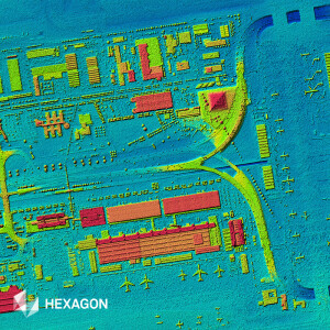
Hexagon’s HxGN Content Program offers nationwide digital surface models (DSM) up to 20 cm resolution (nominal point spacing) across the United States and Europe. The
Hexagon
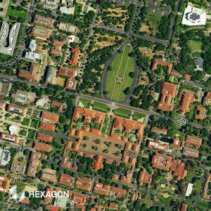
The HxGN Content Program, Hexagon’s aerial data program, offers the world’s largest library of aerial imagery, elevation data, 3D models and analytics. The Content P
Hexagon
Hexagon’s aerial data program, the HxGN Content Program, offers the largest library of aerial imagery and digital surface models across the United States, Europe and
EOMAP
Generate shallow-water bathymetric data globally, even in areas without access to on-site data with the world’s first and only state-of-the-art fully operational Sat
Planet Labs
SpaceAnalyzer
SI Imaging Services
European Space Imaging
The power of 30cm Very High Resolution (VHR) satellite imagery lies in its ability to detect small objects. It allows you to achieve a level accuracy that’s necessa
European Space Imaging
A SecureWatch subscription gives you instant access to the best satellite imagery and geospatial data via web browser or API integration
SI Imaging Services