Join 40,000+ geospatial professionals and get technology news delivered straight to your inbox every week. Subscribe today.

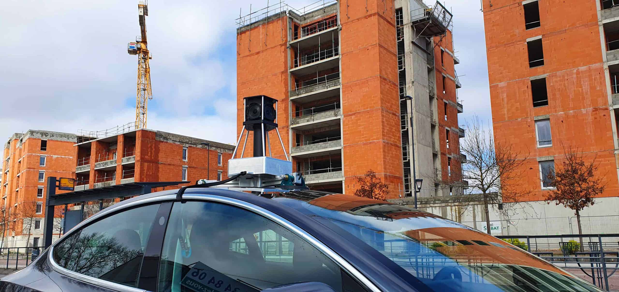
3D-mapping-360-imagery-smart-cities-data-collection-field-smart-cities-urban-projects-scaled.jpeg
migration5r7l9g.png

imajing

Accuracy made easy.

Visit website
Labège, FR Member since

About imajing

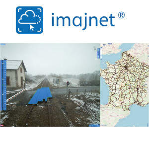
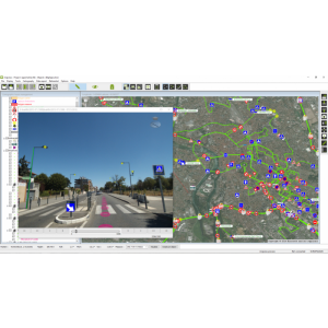
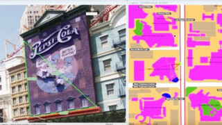
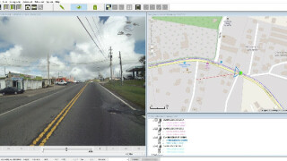
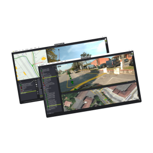
imajing provides an end-to-end mobile mapping toolchain based on imagery. Our mobile mapping systems make collecting high quality geospatial data simple while our GIS software, AI services and web platform enable efficient geo data processing and sharing. Whether our clients partake in tenders or manage an infrastructure network, the range and versatility of our solutions ensure they have the tools required to succeed.

Social media

Main office

Ask a question

imajing team is happy to assist.

imajing

We're available on all weekdays and usually reply within 1-2 working days.

Please provide detailed information. Your input helps imajing assist you effectively.

Let us know a little about you and your contact information.

Do you represent a company or organization?

Before we proceed, would you be interested in subscribing to our newsletter?

By completing this form, you acknowledge and agree to abide by our Terms and Conditions, Privacy Policy and Cookie Policy.

Thank you for your message! Our team tipically to respond to inquiries within 1-2 business days.